Switzerland-based Quantis is launching geoFootprint today. The development is the result of a multi-stakeholder initiative and was built collaboratively alongside more than 25 partners, including Unilever, Nestlé Research, Mars, WBCSD and International Union for Conservation of Nature.
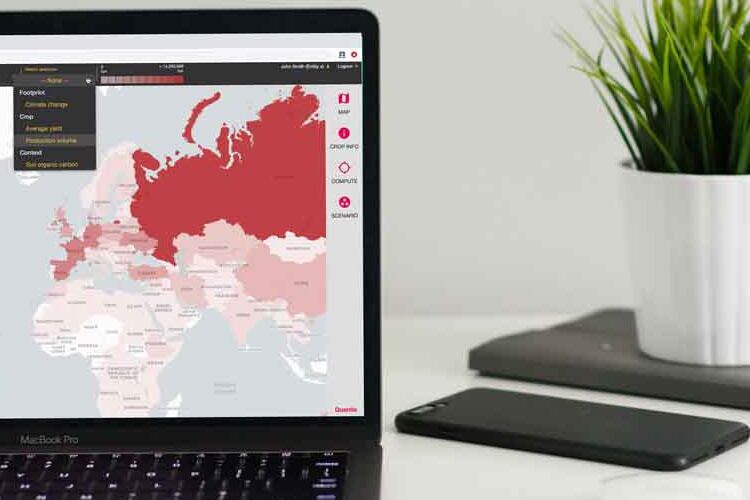
The interactive mapping tool provides a global overview of crop environmental footprints. The aim is to ‘close the gap’ between the action needed to achieve a more sustainable food system and the knowledge required to get there.
“It fills a giant knowledge gap that will allow us to accelerate the sustainable transformation of agriculture,” Xavier Bengoa, the geoFootprint project lead and a senior sustainability consultant at Quantis explained.
According to the FAO, agriculture contributes 20% of global greenhouse gas emissions. A number of large food companies – including Nestlé and Unilever, who backed the project – have committed to supporting regenerative agriculture using practices that sequester carbon into the soil. But, to do so, food businesses need a clear picture of the impact their sourcing decisions have.
The complexity of the globalised supply chain means this data can be illusive. Commodities that are traded globally have locally calculated footprints, meaning where you source ingredients from will impact the environmental impact of the end product.
“While agriculture is one of the largest contributors to the climate and biodiversity crisis, it also represents one of the most high-potential solutions. geoFootprint enables companies to reduce the environmental footprint of crops in their supply chains through providing insights that – until now – have been nearly impossible to capture,” Bengoa noted.
Mapping impact on land, water and climate
geoFootprint has a unique approach to the use of satellite data that helps break down information into actionable portions.
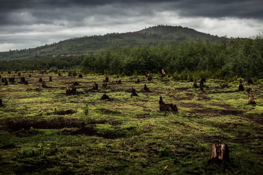
Beyond tracking land-use change to map concerns like deforestation, geoFootprint looks at issues like fertiliser use, soil health and biodiversity. “We are using data extrapolated from satellite imagery that informs about crop cultivation locations at high resolution, productivity and fertilizer use, as well as soil types and properties,” Bengoa told FoodNavigator.
“This is then overlaid with environmental databases that characterize the typical management practices for different crops at country level. All these elements are used to calculate location-specific emissions to air and water, which are then translated into impacts on climate, soil, water and biodiversity.”
geoFootprint tracks 12 key sustainability metrics, we were told. These include: production volume; yield; climate change (including and excluding deforestation); water scarcity; water withdrawal; irrigation stress intensity; acidification; freshwater eutrophication; marine eutrophication; soil erosion; soil organic carbon change; and ecosystems quality.
“All metrics are computed locally at a resolution of 10x10 km, then displayed on a map-based interface. Data can be visualized at 10x10 km resolution, or already aggregated at country and sub-national level.”
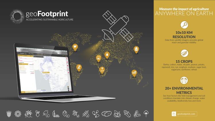
This means users can easily understand a crop’s geography-specific footprint, identify what contributes to it and run simulations to see which interventions would have the most positive environmental impact on their supply chain.
There is also an element of risk mitigation. geoFootprint enables users to assess the risks posed by changes in climate, water availability and quality, soil health, and biodiversity to secure supply chains and the future of food, according to Quantis.
Bengoa believes this innovation ‘absolutely’ goes some way to addressing the challenge of complexity presented by opaque global supply chains.
“geoFootprint tells the user which environmental issues to expect when sourcing crops from specific locations, like whether there is a risk of deforestation, water scarcity or soil erosion, for instance. It also highlights where each crop is grown and the volume. Even with limited transparency of specific supply chains, it helps spot risks and areas where opportunities for improvement are prevalent.”

